Description
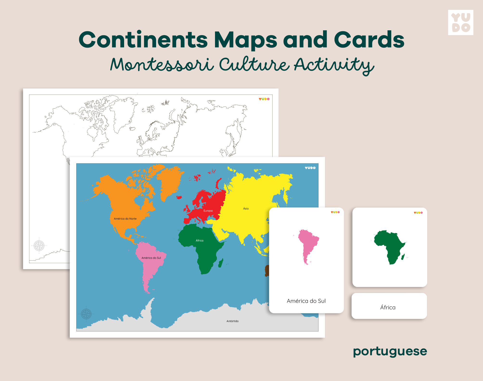
This Continents Maps and Cards set is an essential Montessori geography resource, designed to guide children through a hands-on exploration of the world. This material strictly follows the traditional Montessori globe color-code, allowing for a seamless and intuitive learning experience as children match the continents to their corresponding official colors.
Featuring a clean and professional design, this comprehensive set supports the development of spatial awareness, continent recognition, and early map-reading skills. This specific version includes labels in Portuguese, making it a perfect tool for native speakers or bilingual environments focusing on geographical vocabulary.
What is included in your Continents set:
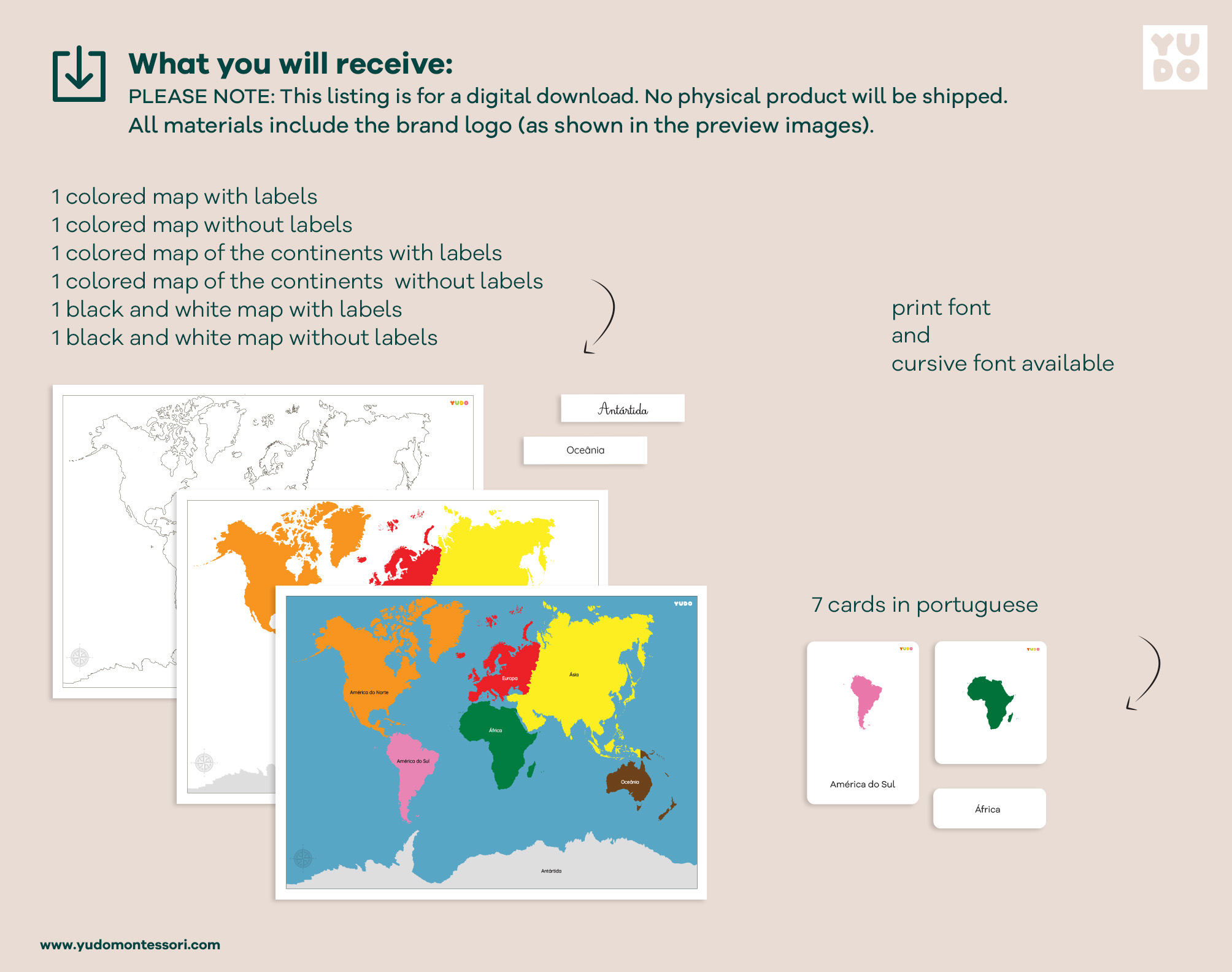
Upon purchase, you will receive high-quality PDF files in A3 size (42 x 29.7 cm), including:
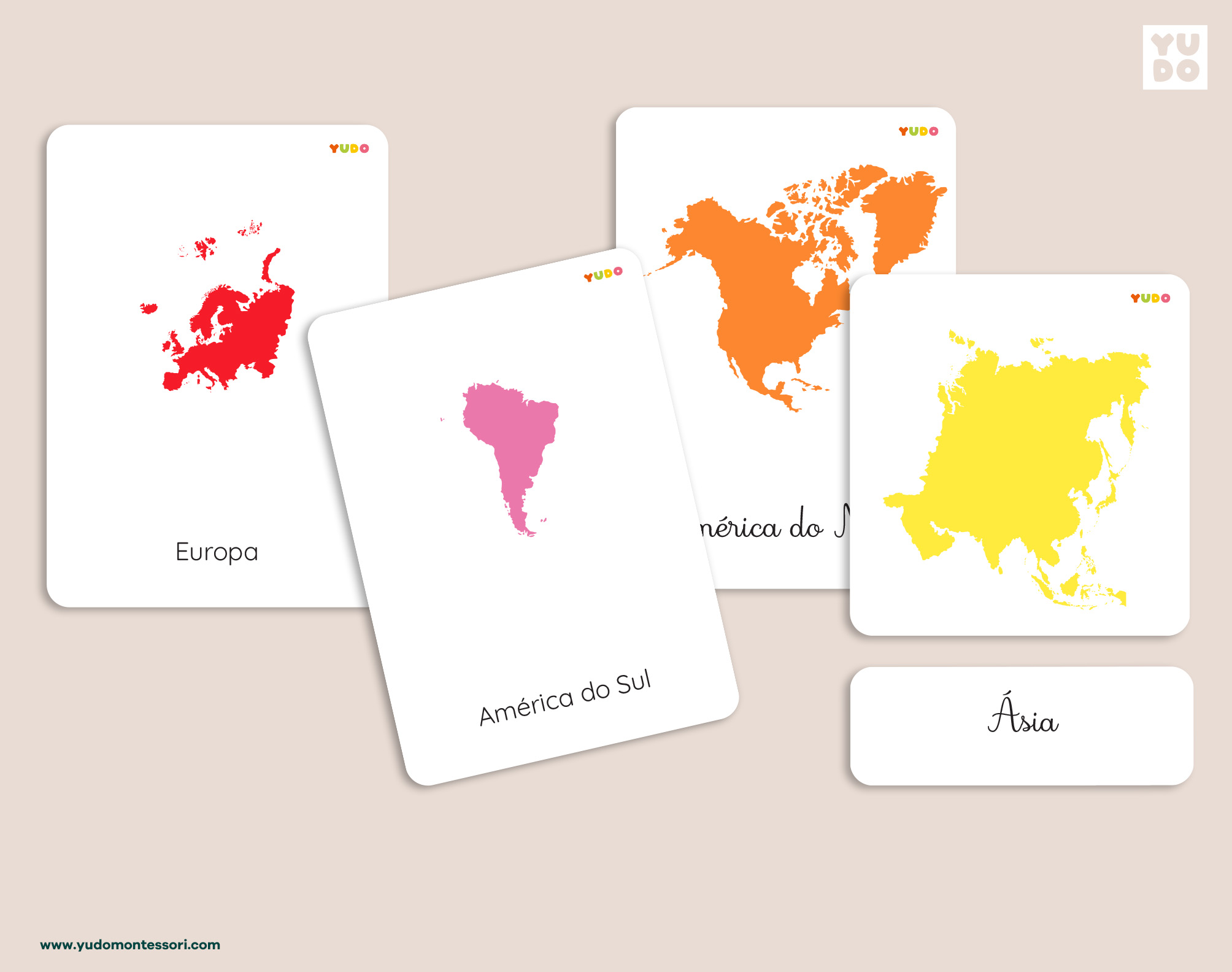
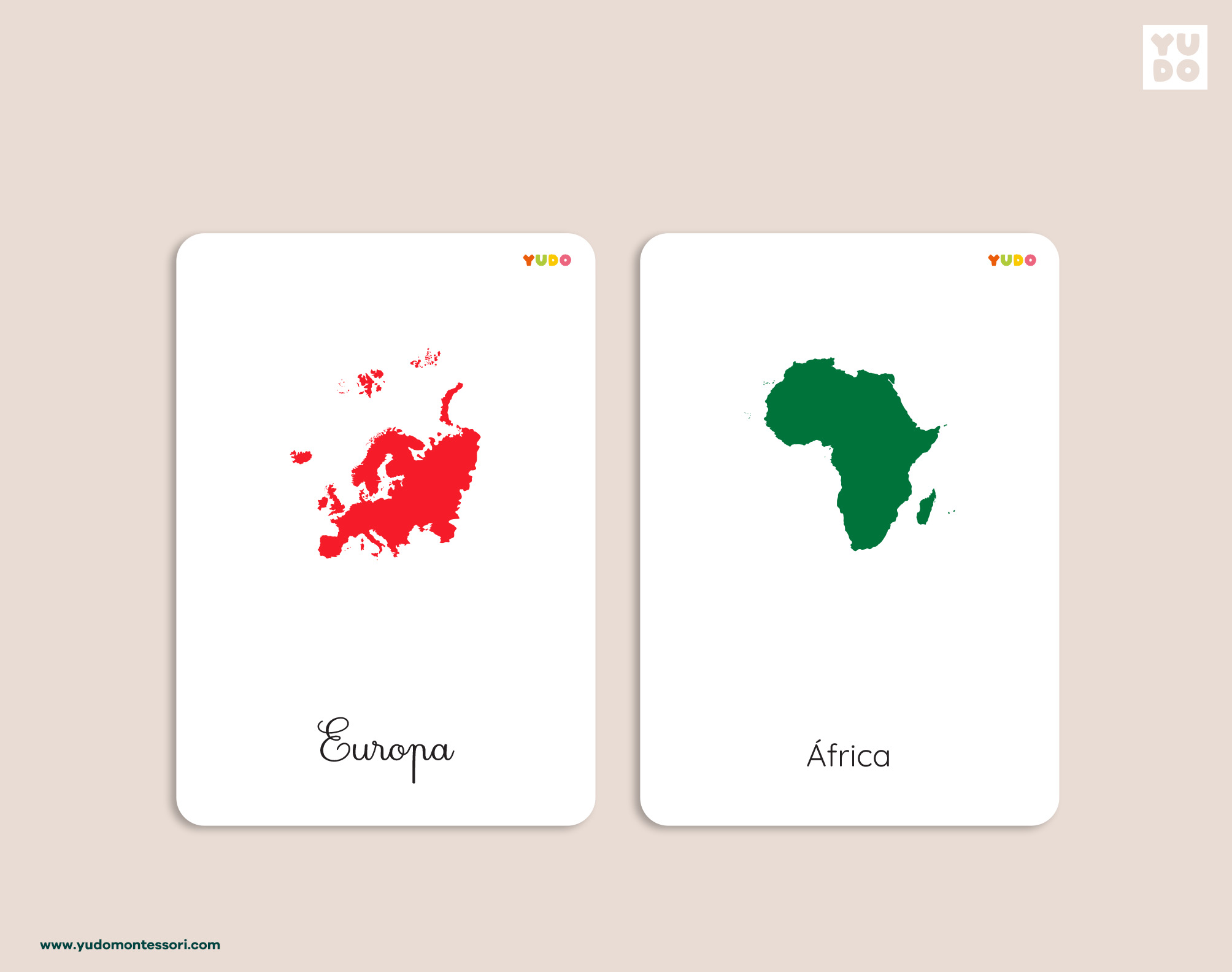
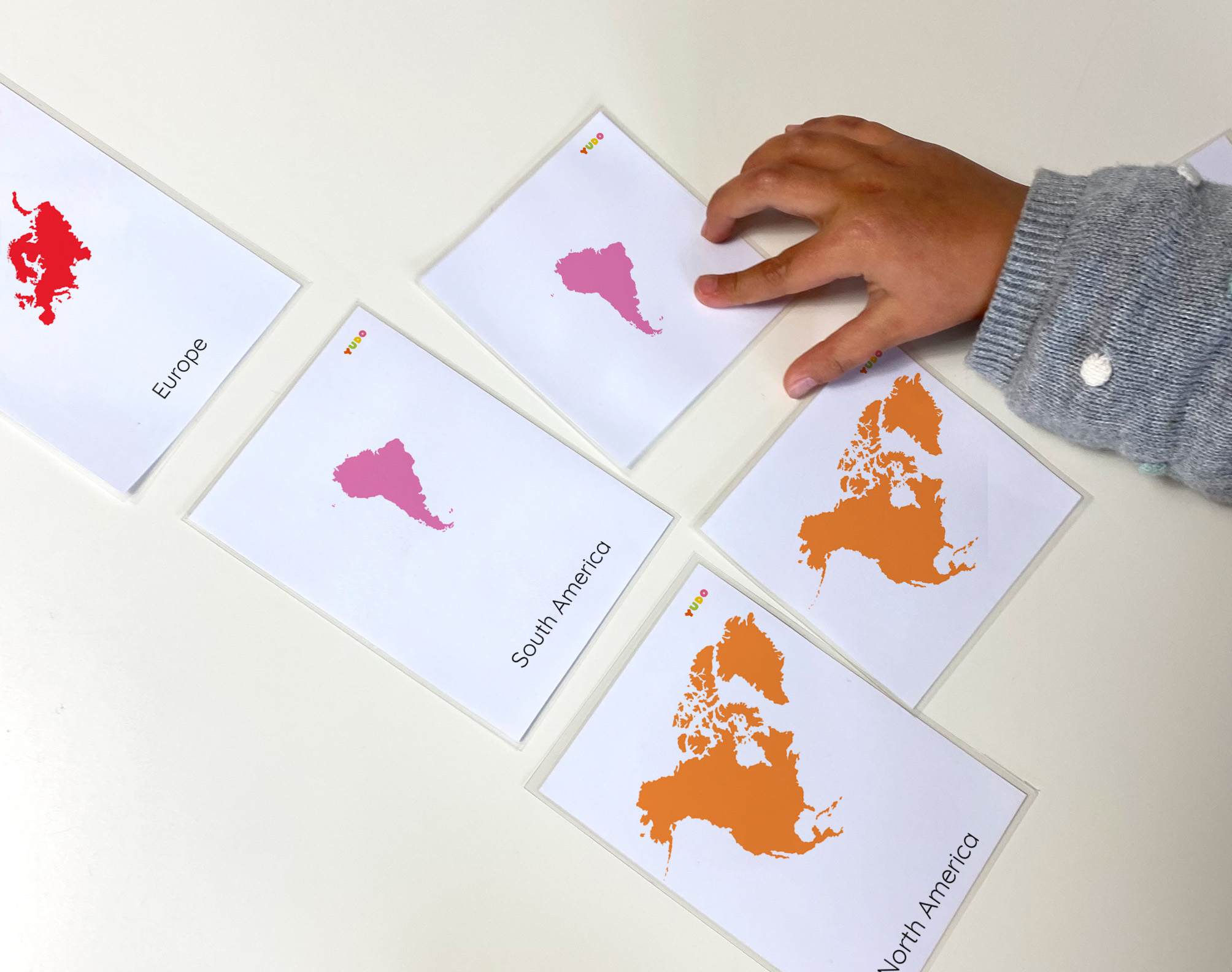
- 7 Montessori 3-part Cards: One set for each continent, featuring the traditional color-coded shapes.
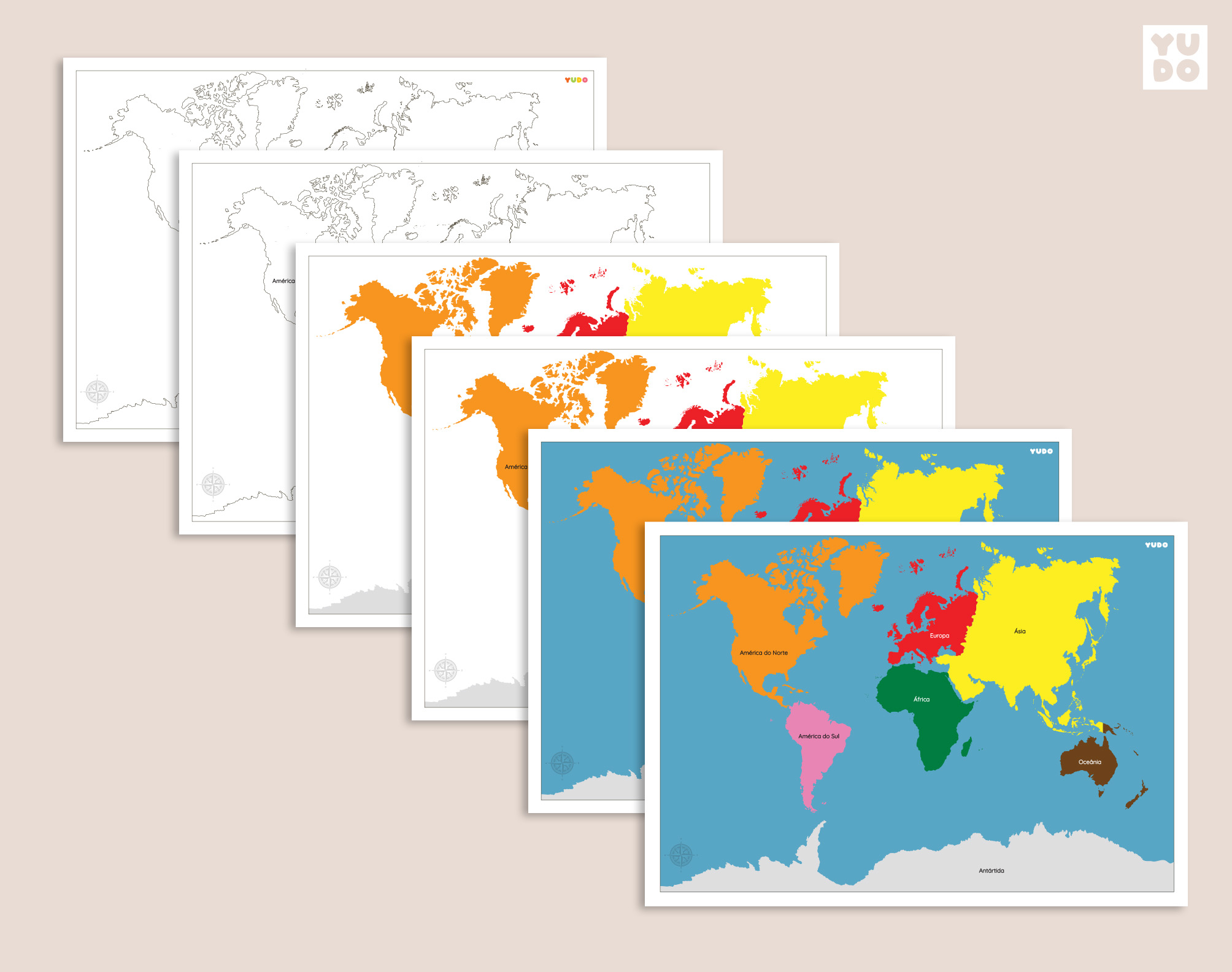
- 6 Printable Continent Maps: A variety of map layouts (labeled and blank) to support different stages of learning and research.
- Traditional Color Alignment: Perfectly matched to the official Montessori geography materials.
- Multiple Font Options: All nomenclature is provided in both Print and Cursive fonts.
- Preparation Guides: Instructions with trim marks and cutting lines for a clean finish.
- Tips: Suggestions for how to use the cards
Note: This is a digital product. No physical items will be shipped.
Looking for this material in English? Check out our Continents Maps and Cards – English Version to support bilingual learning.
This material is designed to be used in conjunction with the official Montessori Globe of the Continents for a consistent and integrated geography experience.

Reviews
There are no reviews yet.