Description
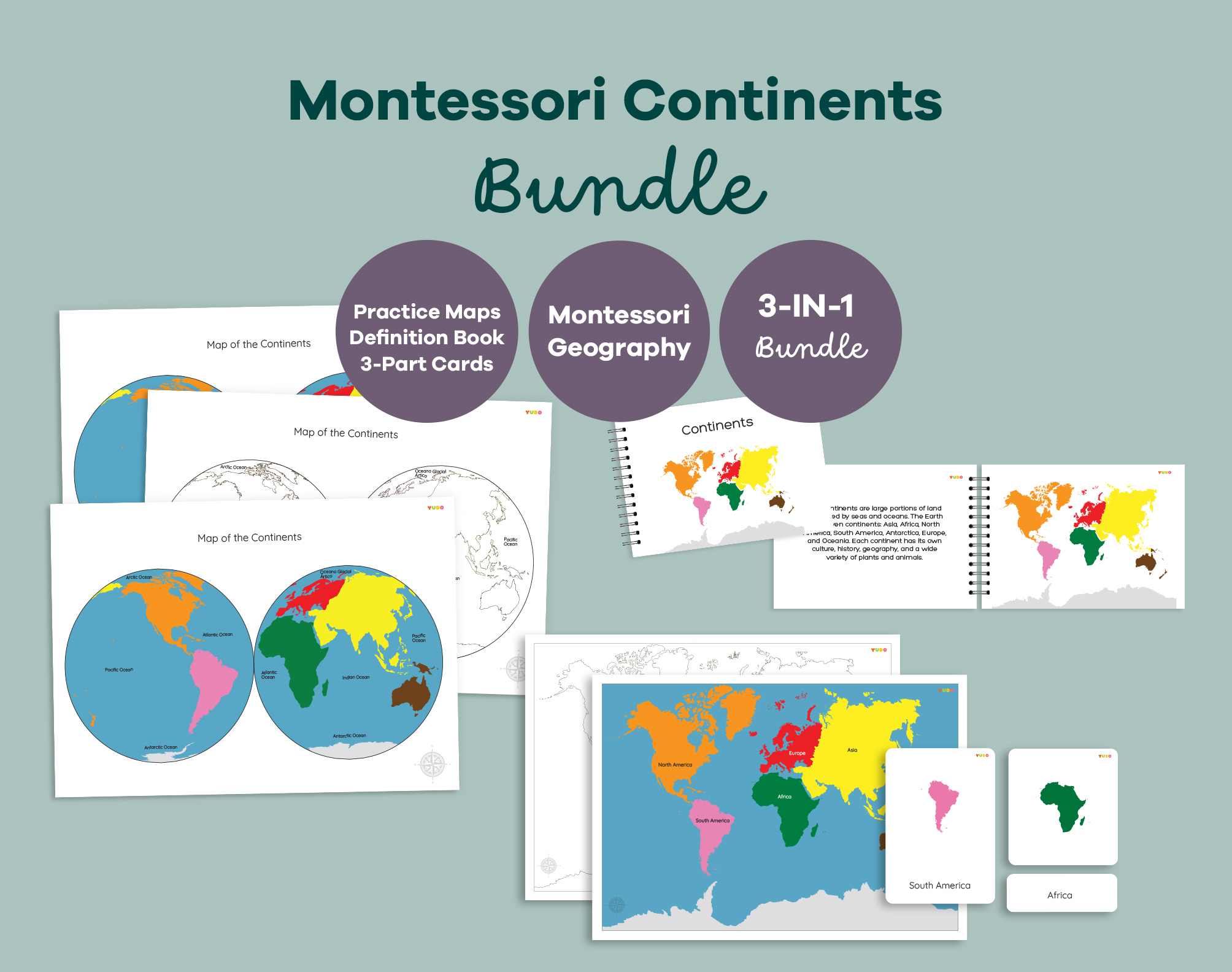
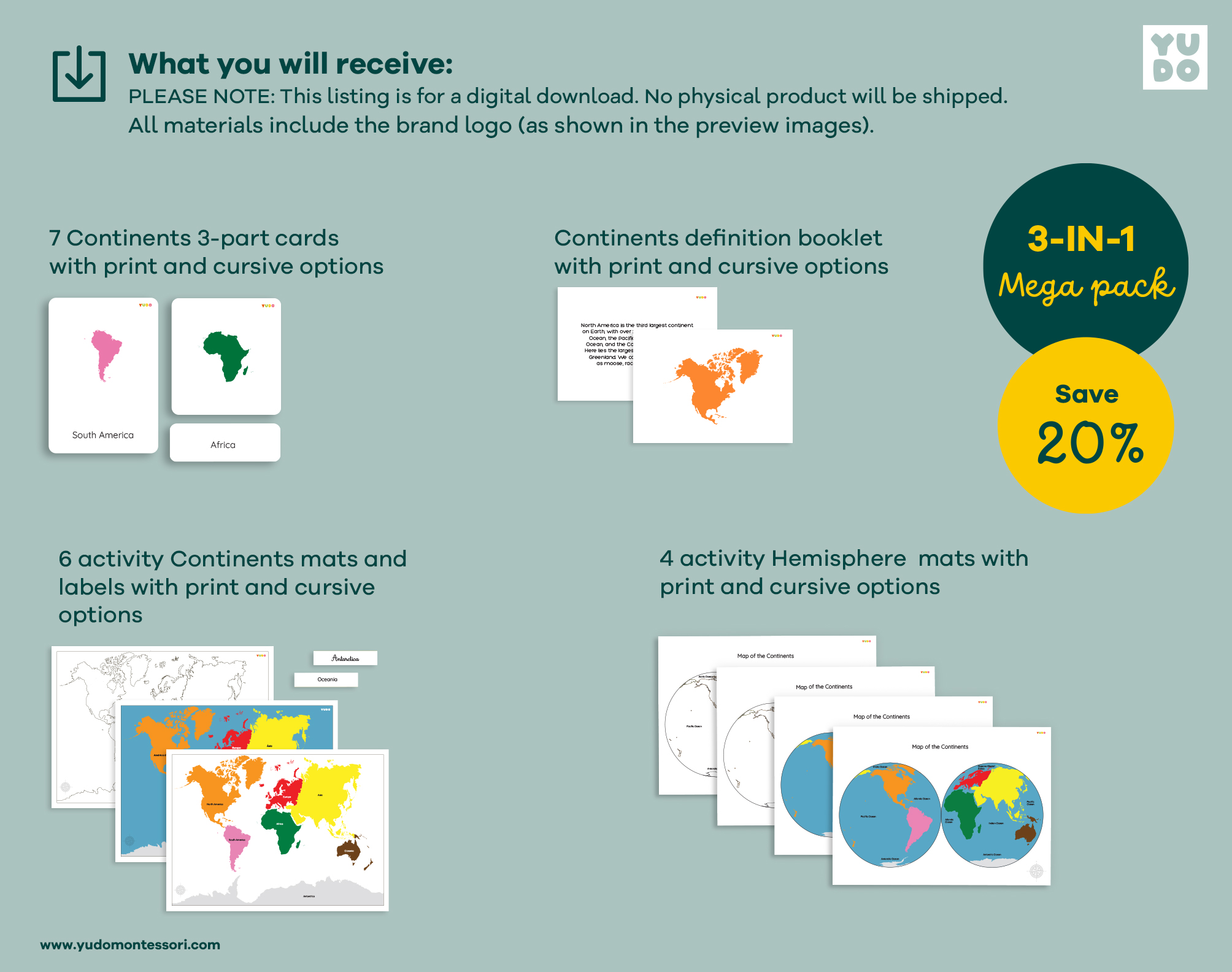
This Montessori Continents Bundle helps children explore world geography through three complementary approaches: hands-on map practice, vocabulary-building nomenclature cards, and guided reading. Everything needed to build a complete Continents shelf in one single download.
WHAT IS INSIDE THIS BUNDLE
CONTINENT PRACTICE MAPS (A3)
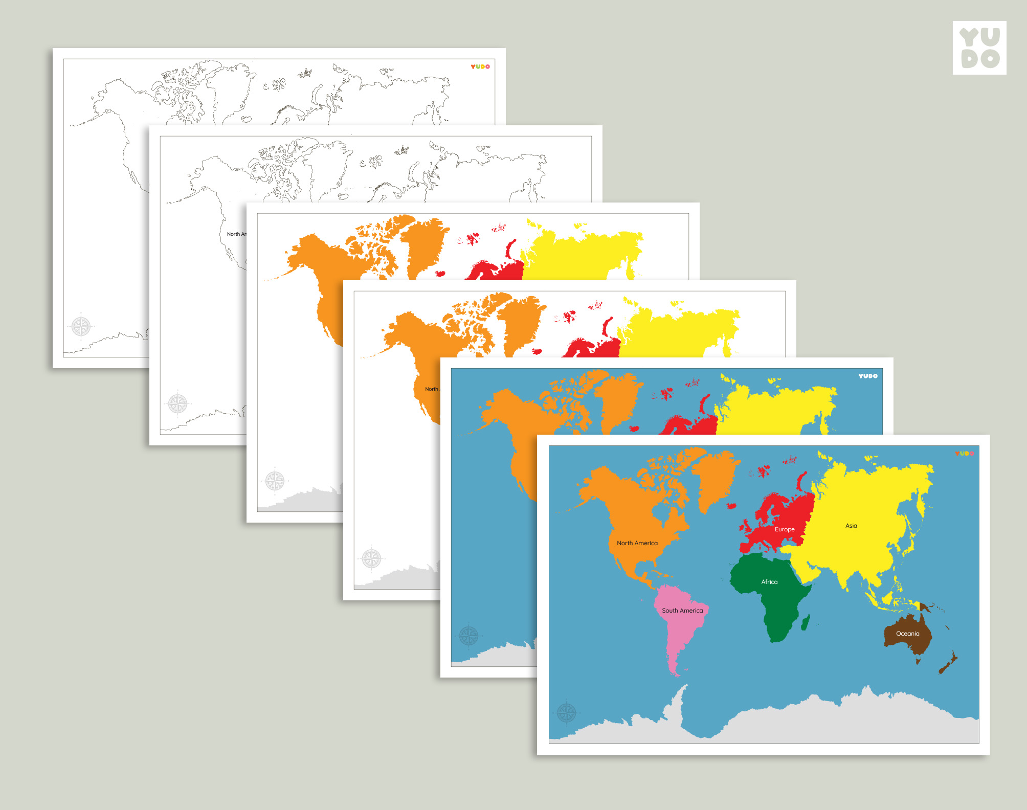
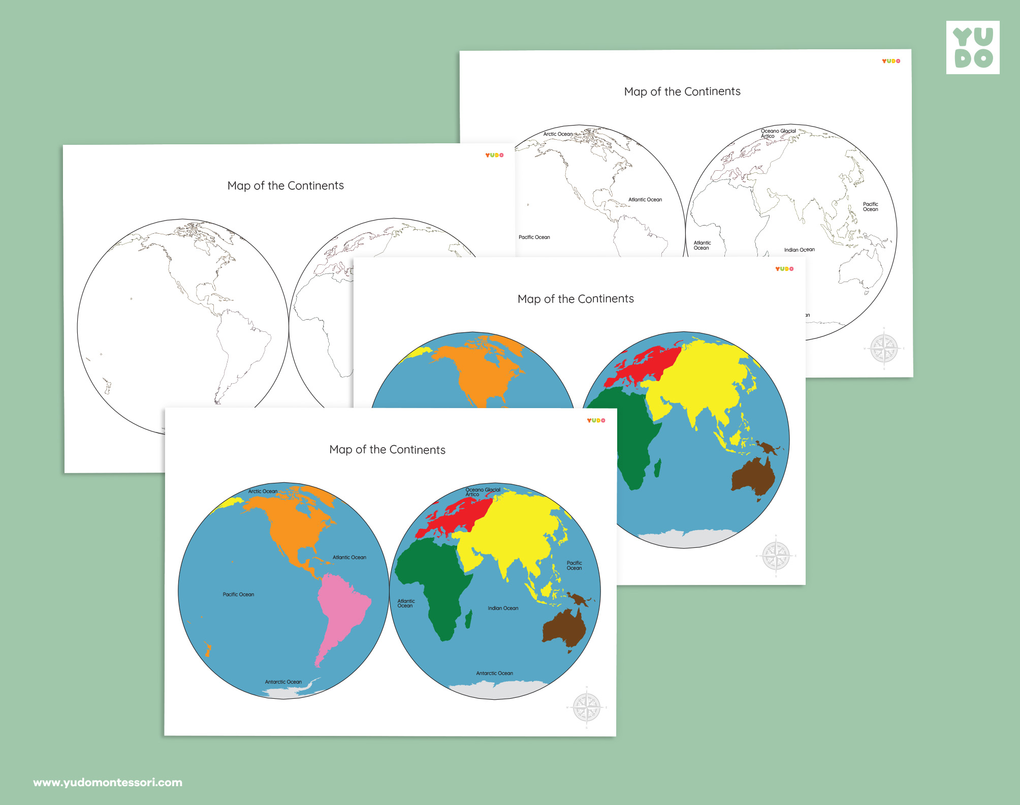
– 4 activity mats: colored with labels, colored without labels, black & white with labels, black & white without labels
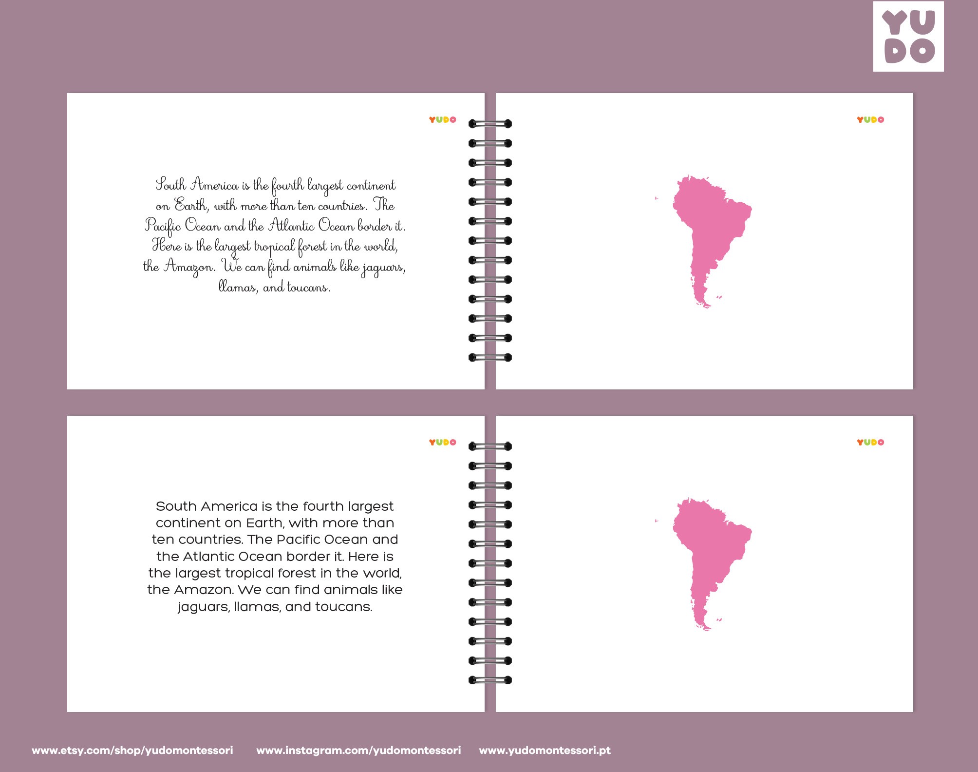
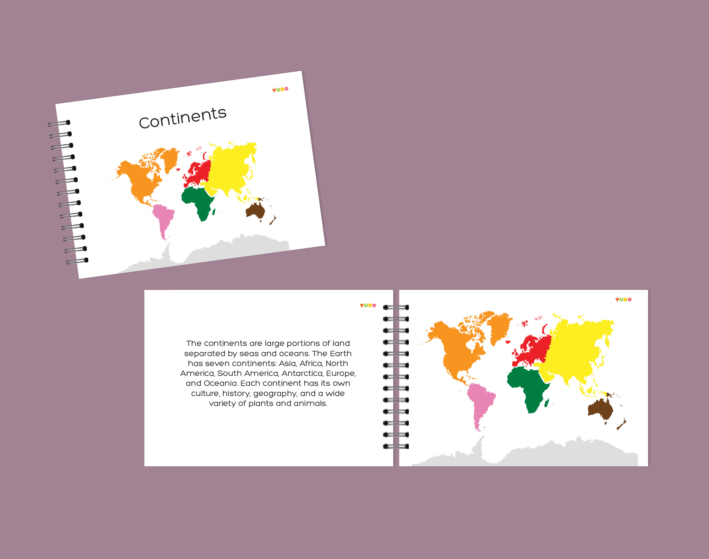
CONTINENT DEFINITION BOOK
– Bilingual definition book, print and cursive font options
– Bonus: color-coded continent map
GEOGRAPHY 3-PART CARDS & MAPS
– 6 activity maps (color/black & white, labeled/blank, with/without water)
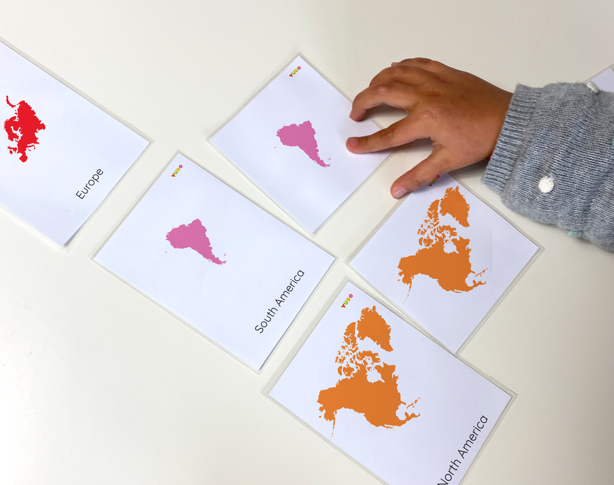
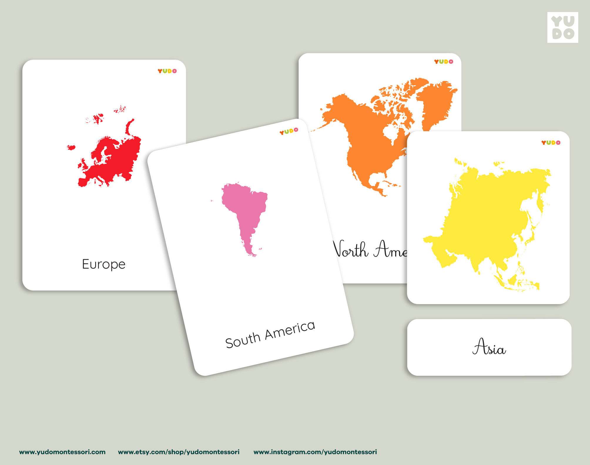
– 7 sets of 3-part cards: Europe, Asia, North America, South America, Africa, Oceania, Antarctica
– Print and cursive font options
Labels in English 🇬🇧
TECHNICAL DETAILS
– PDF files in Letter (8.5 x 11 in) and A4 (21 x 29.7 cm) sizes
– Maps also available in A3 (29.7 x 42 cm) and US Tabloid (11 x 17 in) sizes
– Definition book in A6 size (10.5 x 14.8 cm)
– Print and cursive font options
– Trim marks to be cut with a paper-knife cutter
– Lines around each card to be cut with scissors or a guillotine
+
– Instructions and tips for creating your materials
– Suggestions for how to use the materials
– Terms of use
PLEASE NOTE: This listing is for a digital download. No physical product will be shipped.
All materials include the brand logo (as shown in the preview images).
—
Looking for more geography materials? See our full Geography collection.