Description
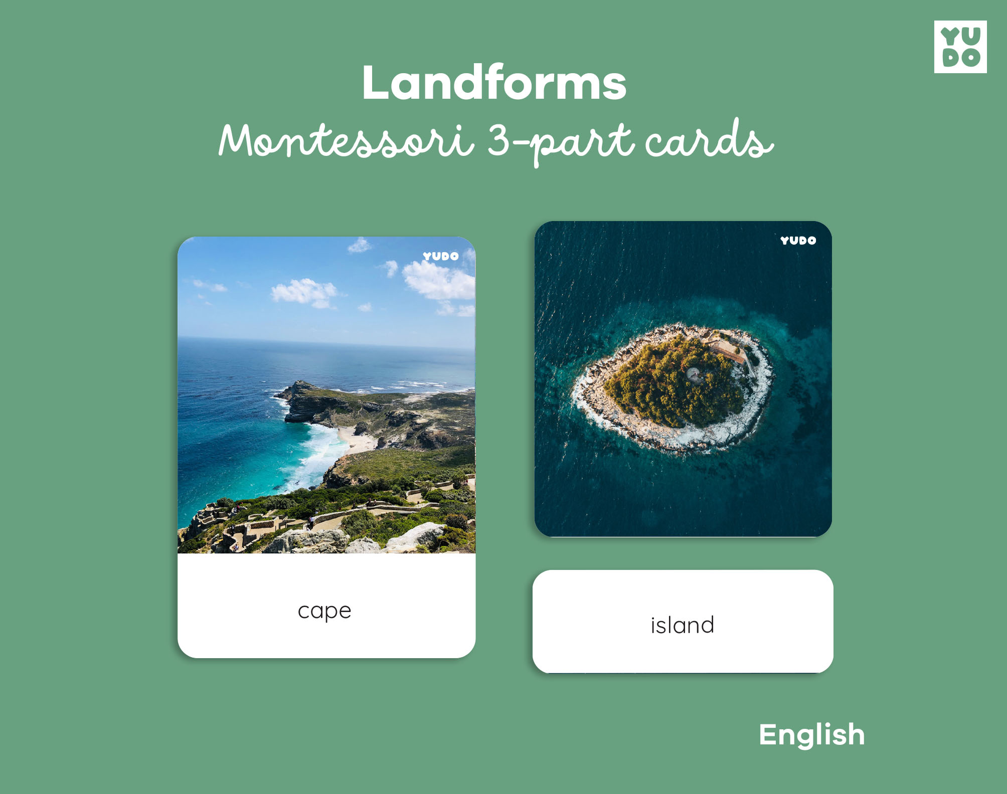
Landforms cards are educational tools designed to help children explore and identify different land and water forms. These Montessori-aligned landforms cards encourage observation, vocabulary development, and an early understanding of geography and the natural world.
This digital set of landforms cards features high-quality, realistic images ready to print, including:
– 10 3-part cards with images
– 10 3-part cards with definitions
Labels in English. 🇬🇧
WHY THESE LANDFORMS CARDS
Unlike illustrated flashcards, these landforms cards use real photographs to help children build an accurate mental picture of the natural world. Children can match, sort, and name landforms such as islands, peninsulas, and capes, developing geography vocabulary.
WHAT YOU WILL RECEIVE
After purchasing these landforms cards, an instant download will be available, and you can get the following:
PDF Files:
– In Letter size (8.5 x 11 in)
– In A4 size (21 x 29.7 cm)
– With print font
– With cursive font
– With trim marks to be cut with a paper-knife cutter
– With lines around each card to be cut with scissors or a guillotine
+
– Instructions and tips for creating your cards
– Suggestions for how to use the cards
– Terms of use
MEASURES (approx.):
Control card: 8.5 x 12 cm (3.3 x 4.7 in)
Image card: 8.5 x 9 cm (3.3 x 3.5 in)
Label card: 8.5 x 3 cm (3.3 x 1.1 in)
PLEASE NOTE: This listing is for a digital download. No physical product will be shipped.
All materials include the brand logo (as shown in the preview images).
—
Looking for the Portuguese version? See our Landforms Cards in Portuguese.
Looking for more geography materials? Browse our full Geography collection.



Reviews
There are no reviews yet.