Description
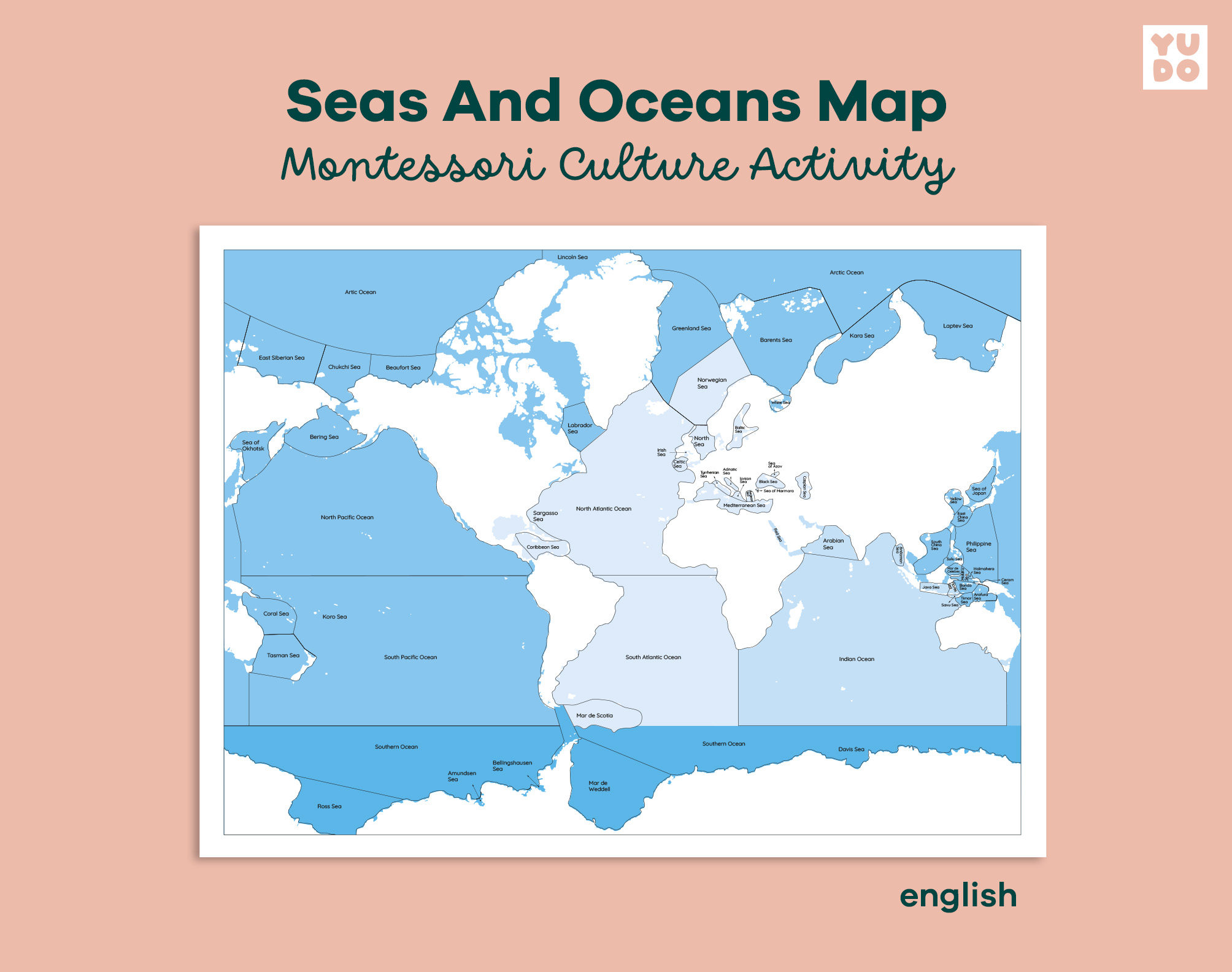
This Seas and Oceans Map is a fundamental resource for the Montessori Culture and Geography area, designed to help children identify and locate the world’s major bodies of water. This material strictly follows the traditional Montessori color-code, ensuring a seamless transition between different geography activities.
With a clean and informative design, this set allows children to explore global hydrography in a visual and structured way. This specific version features labels in English, making it an excellent resource for native speakers or bilingual environments looking to expand geographical vocabulary.
What is included in your Seas and Oceans set:
Upon purchase, you will receive high-quality PDF files in A3 size (42 x 29.7 cm) and US Tabloid size (11 × 17 in), including:
- Labeled Map: A complete map featuring the names of all major seas and oceans in Portuguese.
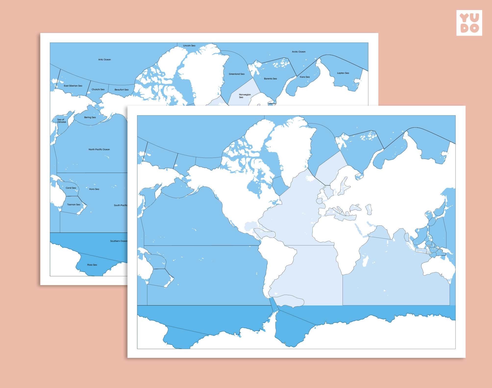
- Mute Map (Blank): A version without labels, ideal for memorization practice, labeling activities, and knowledge assessment.
- Consistent Design: Colors aligned with official Montessori maps and globes.
- Preparation Guides: Practical instructions and tips for creating and preserving your educational material.
Note: This is a digital product. No physical items will be shipped.
Looking for this material in English? Check out our Seas and Oceans Map – Portuguese Version to support bilingual learning.
Reviews
There are no reviews yet.